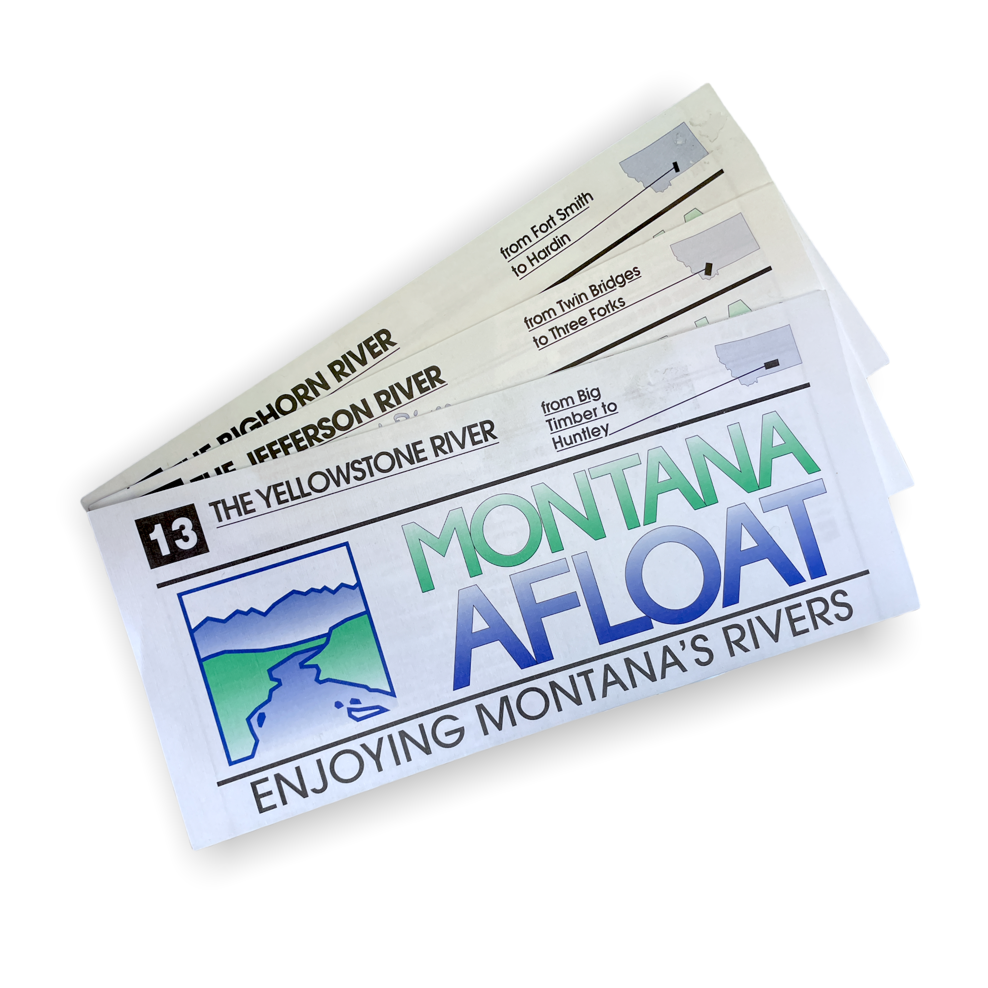
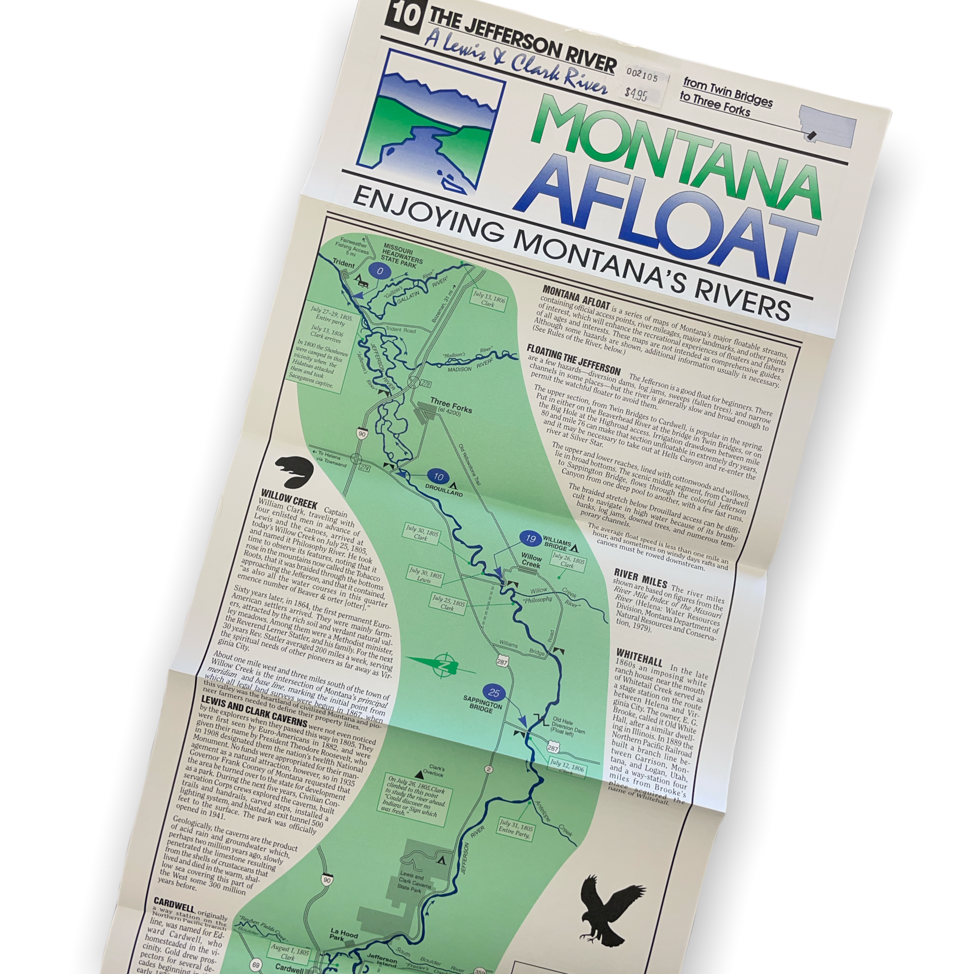
Montana Afloat is a series of maps of Montana’s major floatable streams, containing official access points, river mileage, major landmarks, and other points of interest, which will enhance the recreational experiences of rafters and canoeists of all ages and interests. These maps are not intended as comprehensive guides. Although some hazards are shown, additional information usually is necessary.
The Smith: FT. Logan to the Missouri River
Rock Creek: Giles Bridge to the Clark Fork
The Clarkfork: Rock Creek to Paradise
The Gallatin: Yellowstone National Park to Three Forks
The Madison: Quake Lake to Three Forks
The Yellowstone: Big Timber to Huntley
The Beaverhead: Clark Canyon Dam to Twin Bridges
The Bighorn: Fort Smith to Hardin
The Big Hole: Wisdom to Twin Bridges
The Bitterroot River: Conner to Missoula
The Jefferson: Twin Bridges to Three Forks